This was a GREAT day - Saddle Canyon was a pretty place to wake up, we had multiple nice hikes (Carbon Chuar Loop, Hilltop Ruin and Unkar Overlook), saw some interesting new (even unique) geology and ended up in another fantastic campsite.
We start just downstream from camp around mile 48 with today's pour off (just love how the limestone erodes here). Note the lowest waterfall is getting close to river level and how the other falls are tiered. We can better understand how head-ward erosion progresses to form a side canyon thru observation of examples like this

Mile 51.8 the Bright Angel Shale appears at river level for the first time (below photo is a little later and shows the BA shale on river left)

Mile 59.0 the Tapeats Sandstone appears at river level

Mile 60 we see a great exposure example of "Rocks Made By Time" aka "Redwall, Muav, BA Shale, Tapeats Sandstone" (notice the purple, tan and green layers in the unusual BA Shale face - normally BA Shale erodes into a slope).

Mile 60 We see Cape Solitude (which deserves its own deep dive on geology but will not be covered as part of this trip).

Mile 61.25 LCR confluence - on right we see Chuar Butte rising and straight ahead is Temple Butte (type locality for the Temple Butte Limestone).

Mile 61.8 another picture of Temple Butte from source
Mile 63.5 First Precambrian Rock

Mile 63.6 we see Salt Formations on the Tapeats Sandstone river left.

Mile 64.5: We stop at Carbon Creek for lunch followed by the Lava-Chuar Loop hike (this hike will get its own separate detailed geology review).
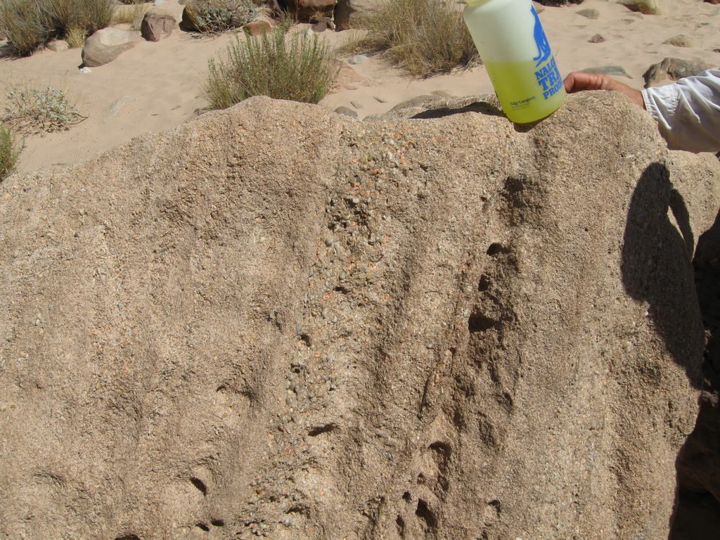
Near our mooring we notice an unusual rock which (after several guesses) is determined to be a Stromatolite (this eroded out of a deposit and washed down to where we see it, but is around 760 million years old if it came out of the Chuar Group)

We notice there are multiple stromatolites on the beach
Here is a link to a Precambrian deposit discussion from BQR around the Chuar Beach area
The Chuar Group is over 5000 feet thick and is composed of sedimentary rocks, including the Galeros and Kwagunt Formations.
Here we discuss the geology seen on the hike from Carbon Canyon Beach (Chuar Beach) up Carbon Canyon - a separate section will cover our hike down to Lava Canyon then back to the river.
Here is a view of Carbon Canyon from the river (the bedrock is Dox Formation under Tapeats Sandstone - Dox is the youngest formation of the Unkar Group). The contact between the Tapeats and the older rocks is known as "the Great Unconformity" (we will see and even touch a better example later in Blacktail Canyon).

On the beach Wayne discusses a Boulder whose river gravel size variation illustrating sorting
We start our hike up Carbon Canyon on the Dox

This was a great hike with personal contact with geology (below the group clambers up a boulder at the top of a rock fall in Carbon Canyon)

We finally enter the Tapeats Sandstone narrows

We exit the Tapeats Narrows

and see the Chuar Valley spread out in front of us

Much of what we see is in the Chuar Group (named by Powell after an Indian chief named Chuarrumpeak - see this discussion in Canyon Views).
The Chuar Group is over 5000 feet thick and is composed of sedimentary rocks, including the Galeros and Kwagunt Formations.
This was uplifted by the Butte Fault which is conveniently located to our right

We notice Temple Butte rising to the right of Butte Fault with the last of the Tapeats Narrows below it and on the right

detail of Temple Butte

This is such a nice area we take a break listening to Wayne discuss the geology of the area.

Our river crew relaxes

Ahead of us is the north rim (Naji Point across Chuar Valley)

End of Part 2
The start of our hike over to Lava Canyon is characterized by the Grand Canyon Supergroup - see this link for the Formations and Members we will hike by or thru - this email covers only some of what we saw (there are thousands of feet of rock exposure summarized here)
Can you identify the member to the left and above the group hiking from the link referenced?

As we continue down we see a Cardenas Lava contact - does it look like the lava "baked" the member it touched?

We soon descend into the Supergroup Galeros Formation - here we see tilted mudstones

Another picture with more detail

In a few minutes, looking up and forward we see the Carbon Canyon member of the Galeros Formation on top of the lower mudstones

As we continue down the canyon we have to bypass a dry fall and look back at it

Galeros Formation detail of brightly coloured Carbonate Layers (Stromatolite bearing) - just above the trail

The trail continues down Lava Canyon dropping fairly quickly

Notice the Cardenas Lava in upper left of the zoomed image

As we continue down the canyon we have to bypass a dry fall and look back at the colored layers in it
As we start down the creek bed we see the Dox Formation - specifically the brick red upper layer of the Ochoa Point Member/Comanche Point Member

In the creek bed we see where this has washed down

Soon we reach the beach and see the Lava Canyon Rapid sentinel which is Cardenas Lava topped with Tapeats

End of Part 3
Mile 67 Comanche Point dominates the view (this feature names the Comanche Point Member of Dox Formation)

Mile 67.5 Red Dox Formation cliffs rise above the river

Mile 68.4 we see the Butte Fault above the Tanner Rapid (Cardenas Basalt on left, reddish Dox Formation on right)
The Cardenas Lava (normally above the Dox) was moved downward by the Butte Fault

Mile 68.5 Tanner Rapid (Tanner Member which is at bottom of Galeros Formation overlooks the rapid - in the shadows here)

Better view including Tanner Member

Mile 70.6 we pass an exposure of the ancient river channel (see the rounded boulders)

Mile 70.8 ancient river channel on river right (looking upstream towards Comanche Point)

Old river Channel - another view

Our campsite was at Cardenas Camp

- before dinner, Sueanne and Bill hiked up to Hilltop Ruin then over to the Unkar Overlook and contoured via Escalante Trail back to camp (incredible Palisades of the Grand Canyon backdrop!)

Bill at Unkar Overlook with Dox Formation cliffs in background

Sueanne stands on Dox with Supergroup background

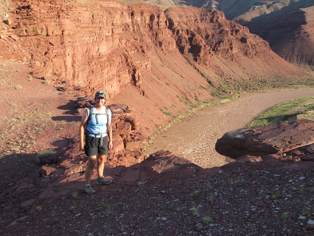
Unkar Rapid and part of Unkar delta from Unkar Overlook (Dox Formation forms the cliffs below)

Looking north towards Apollo Temple (Dox Formation forms the lower slopes, Cardenas Basalt the dark gray slopes, and Tapeats Sandstone the upper cliff)

End of Part 4 - end of Day 3
No comments:
Post a Comment